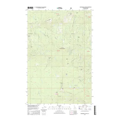
2017 Map of Monumental Buttes
USGS Topo · Published 2017About this map
St. Joe National Forest dominates this section of the Idaho panhandle, where high-elevation lookouts and meadows define the Shoshone County landscape. The ridge-and-valley topography is punctuated by the Round Top Lookout atop Roundtop Mtn, a vital vantage point for monitoring the timberlands. Below these heights, the Little N Fork Clearwater River and its numerous tributaries, including Adair Cr and Rocky Run, carve through the terrain. Evidence of back-country utility and recreation is visible in the network of off-highway vehicle routes like the Adair Ridge OHV and the presence of the Twin Creek Cabin. High-altitude water bodies such as Steamboat Lake and Noseeum Lake sit near the eponymous Monumental Buttes, which serve as a prominent landmark for the region.
Find a feature on this map
64 named features on this map. Tap any name to fly to it.
Don’t see what you’re looking for? This feature index may not catch every label — zoom into the map to look around manually.
Map Details
Editions of this 2017 Monumental Buttes Map
This is the sole edition of this map. No revisions or reprints were ever made.
Other maps of this area

1914 · Avery
USGS Topo · 1:125,000

1917 · Avery
USGS Topo · 1:125,000

1923 · Washington Creek
USGS Topo · 1:125,000

1936 · Boehls Butte
USGS Topo · 1:48,000

1943 · Boehls Butte
USGS Topo · 1:62,500

1956 · Wallace
USGS Topo · 1:250,000

1956 · Hamilton
USGS Topo · 1:250,000

1959 · Hamilton
USGS Topo · 1:250,000

1960 · Wallace
USGS Topo · 1:250,000

1960 · Hamilton
USGS Topo · 1:250,000