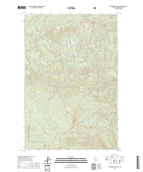
2024 Map of Monumental Buttes
USGS Topo · Published 2024About this map
St. Joe National Forest dominates this Shoshone County landscape, where the Little North Fork Clearwater River carves through high ridges and peaks. This 2024 survey captures a remote wilderness defined by prominent landmarks such as the Monumental Buttes chain, including North Butte, South Butte, and East Butte. Higher elevations are marked by named summits like Miller Peak and Roundtop Mtn, while high-country wetlands such as Spokane Meadows and Fortune Meadows provide clearings in the dense timber. The map details a network of primitive access routes, including the Monumental Butte Trl and Giant Slalom Ohv Trl, which connect the river valley to remote alpine water bodies like Steamboat Lake and Museum Lake. This data reflects the contemporary managed forest environment, showing the modern trail system used by backcountry recreationists and foresters alike.
Find a feature on this map
59 named features on this map. Tap any name to fly to it.
Don’t see what you’re looking for? This feature index may not catch every label — zoom into the map to look around manually.
Map Details
Editions of this 2024 Monumental Buttes Map
This is the sole edition of this map. No revisions or reprints were ever made.
Other maps of this area

1914 · Avery
USGS Topo · 1:125,000

1917 · Avery
USGS Topo · 1:125,000

1923 · Washington Creek
USGS Topo · 1:125,000

1936 · Boehls Butte
USGS Topo · 1:48,000

1943 · Boehls Butte
USGS Topo · 1:62,500

1956 · Wallace
USGS Topo · 1:250,000

1956 · Hamilton
USGS Topo · 1:250,000

1959 · Hamilton
USGS Topo · 1:250,000

1960 · Wallace
USGS Topo · 1:250,000

1960 · Hamilton
USGS Topo · 1:250,000