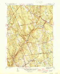
1946 Map of Moodus
USGS Topo · Published 1946About this map
Pocotopaug Lake and the village of East Hampton anchor the northwestern corner of this mid-1940s landscape, where the Salmon River carves a path through a dense network of streams and ponds. The map captures a moment when the regional economy was tied to the river valleys, as seen in the cluster of mills and settlements at Leesville and Moodus. The intricate drainage of the Mottey Brook and Babcock Swamp systems, alongside the expansive Moodus Reservoir, highlights the region's managed water resources during this period of post-war Connecticut history.
Find a feature on this map
59 named features on this map. Tap any name to fly to it.
Don’t see what you’re looking for? This feature index may not catch every label — zoom into the map to look around manually.
Map Details
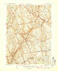
Editions of this 1946 Moodus Map
2 editions found
Other maps of this area

1892 · Gilead
USGS Topo · 1:62,500

1893 · Guilford
USGS Topo · 1:62,500

1893 · Middletown
USGS Topo · 1:62,500

1893 · Saybrook
USGS Topo · 1:62,500

1906 · Farmington
USGS Topo · 1:125,000

1928 · Glastonbury
USGS Topo · 1:24,000

1944 · Marlboro
USGS Topo · 1:31,680

1944 · Columbia
USGS Topo · 1:31,680

1944 · Deep River
USGS Topo · 1:31,680

1945 · Middle Haddam
USGS Topo · 1:31,680