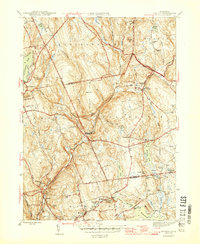
1946 Map of Moodus
USGS Topo · Published 1946About this map
Moodus and the surrounding villages in Middlesex and New London Co appear here during the mid-1940s, a landscape defined by the convergence of the Salmon River and the Blackledge River. This area is characterized by its numerous water bodies, ranging from the large Pocotopaug Lake to the clusters of smaller ponds like Number One Pond and Number Two Pond. The industrial and agricultural heritage of the region is evident in the positioning of settlements like Leesville along the Moodus River and the rural infrastructure of Westchester.
Find a feature on this map
59 named features on this map. Tap any name to fly to it.
Don’t see what you’re looking for? This feature index may not catch every label — zoom into the map to look around manually.
Map Details
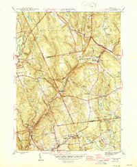
Editions of this 1946 Moodus Map
2 editions found
Other maps of this area

1892 · Gilead
USGS Topo · 1:62,500

1893 · Guilford
USGS Topo · 1:62,500

1893 · Middletown
USGS Topo · 1:62,500

1893 · Saybrook
USGS Topo · 1:62,500

1906 · Farmington
USGS Topo · 1:125,000

1928 · Glastonbury
USGS Topo · 1:24,000

1944 · Marlboro
USGS Topo · 1:31,680

1944 · Columbia
USGS Topo · 1:31,680

1944 · Deep River
USGS Topo · 1:31,680

1945 · Middle Haddam
USGS Topo · 1:31,680