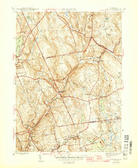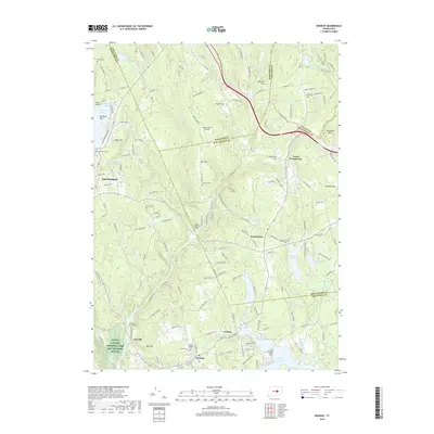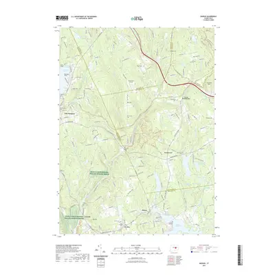
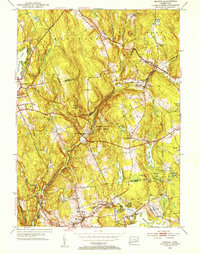
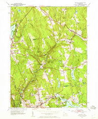
1952 Map of Moodus
USGS Topo · Published 1953About this map
The Salmon River and its many tributaries carve through this corner of Connecticut, defining a landscape of steep wooded hills and early industrial water power. At the center of this 1952 revision, the Salmon River State Forest surrounds the historic Old Comstock Bridge, while the New York New Haven and Hartford railroad line follows the contours of the river valley toward North Westchester. To the south, the settlement of Moodus is shown just before mid-century suburban shifts, with its namesake Moodus River and Moodus Reservoir powering the local economy.
Find a feature on this map
62 named features on this map. Tap any name to fly to it.
Don’t see what you’re looking for? This feature index may not catch every label — zoom into the map to look around manually.
Map Details
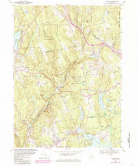
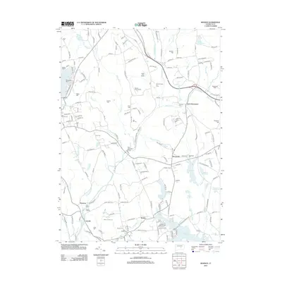
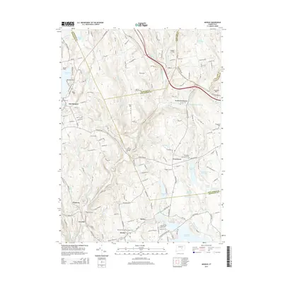
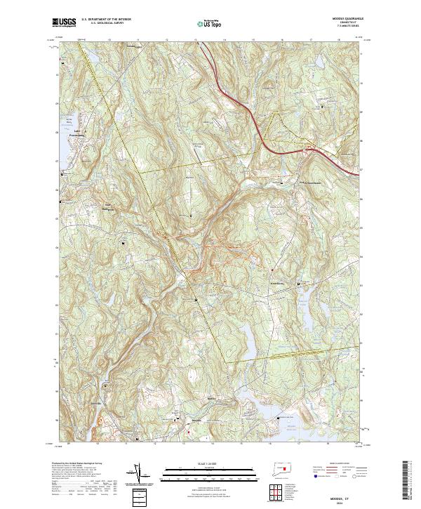
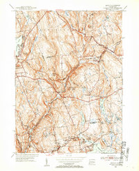
Editions of this 1952 Moodus Map
3 editions found
Historical Maps of Colchester Through Time
8 maps found