Loading...
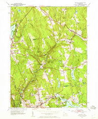
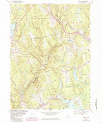
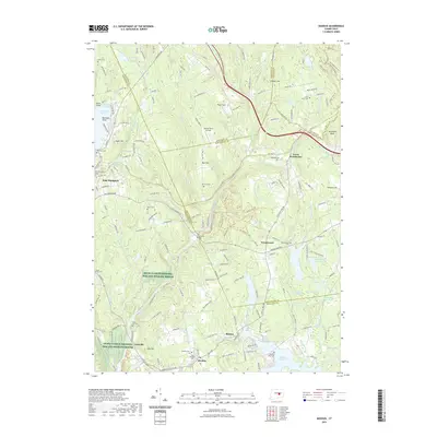
Loading map...1952 Map of Moodus
USGS Topo · Published 1959About this map
The Salmon River and its winding tributaries define the landscape of this mid-century Connecticut survey, where the river serves as a natural boundary for Colchester, Marlborough, and East Haddam. The infrastructure of the era is evident in the path of the New York New Haven And Hartford railroad, which includes the Westchester Sta stop. Industrial and community hubs like Moodus and East Hampton are well-established, surrounded by numerous water bodies that drove local mill economies, such as the Moodus Reservoir and Pocotopaug Lake.
Find a feature on this map
63 named features on this map. Tap any name to fly to it.
Don’t see what you’re looking for? This feature index may not catch every label — zoom into the map to look around manually.
Map Details
Date Portrayed1952
Date Published1959
PublisherU.S. Geological Survey
Map TypeTopographic
Scale1:24,000
Physical Dimensions22 x 26.9 inches
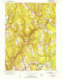
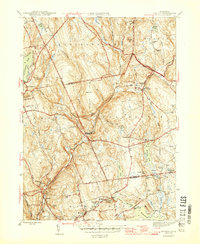
Editions of this 1952 Moodus Map
3 editions found
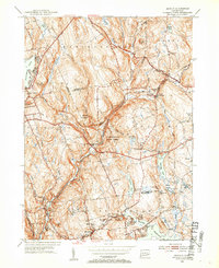
Historical Maps of Colchester Through Time
8 maps found
Featured Locations
Source Details
SourceU.S. Geological Survey
CopyrightPublic Domain