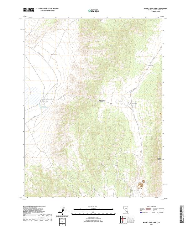
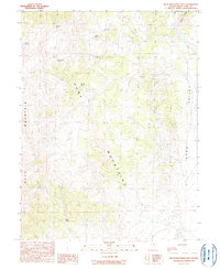
2021 Map of Mooney Basin Summit
USGS Topo · Published 2021About this map
Goicoechea Warm Springs provides a rare point of perennial water in the arid landscape of the Newark Valley, situated at the base of the southwestern Ruby Mountains. This 2021 topographic survey highlights the transition from the flat valley floor into the high elevations of Alligator Ridge and the Mooney Basin Summit. The infrastructure of White Pine County is represented by primary corridors such as White Pine Co Road 1 and White Pine Co Road 4, which facilitate movement through the basin. Steep drainage features like Martin Canyon and the high-altitude Mooney Basin define the interior of the range, illustrating the complex hydrology and relief of the Great Basin's basin-and-range topography.
Find a feature on this map
13 named features on this map. Tap any name to fly to it.
Don’t see what you’re looking for? This feature index may not catch every label — zoom into the map to look around manually.
Map Details
Editions of this 2021 Mooney Basin Summit Map
This is the sole edition of this map. No revisions or reprints were ever made.
Other maps of this area

1956 · Ely
USGS Topo · 1:250,000

1957 · Buck Mountain
USGS Topo · 1:62,500

1957 · Cold Creek Ranch
USGS Topo · 1:62,500

1959 · Ely
USGS Topo · 1:250,000

1963 · Ely
USGS Topo · 1:250,000
1982 · Long Valley Slough
USGS Topo · 1:24,000
1982 · Tognini Spring
USGS Topo · 1:24,000
1982 · Sunshine Well NW
USGS Topo · 1:24,000

1985 · Newark Lake
USGS Topo · 1:100,000
1990 · Buck Mountain East
USGS Topo · 1:24,000