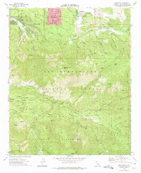
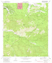
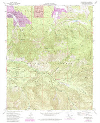
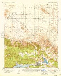
1970 Map of Moonridge
USGS Topo · Published 1975About this map
Moonridge and the surrounding Bear Valley area are defined by a dense concentration of youth camps and recreational facilities as they appeared in 1970. This landscape within the San Bernardino National Forest includes numerous named sites such as Camp Akela, University Camp, and Camp Good News, illustrating the region's importance as a mountain retreat. Further south, the high-altitude terrain of the Barton Flats area is marked by the headwaters of the Santa Ana River and South Fork Santa Ana River. The map documents a complex network of seasonal access including the Pacific Crest Nat Scenic Tr and Radford Road. From the Gold Mine Ski Area near Sugarloaf Mountain to the remote boundaries of the San Gorgonio Wilderness, the survey captures the transition between established mountain settlements like Sugarloaf and the protected peaks of Grinnell Mtn.
Find a feature on this map
84 named features on this map. Tap any name to fly to it.
Don’t see what you’re looking for? This feature index may not catch every label — zoom into the map to look around manually.
Map Details
Editions of this 1970 Moonridge Map
3 editions found
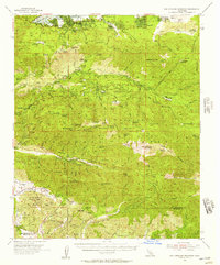
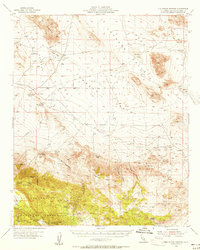
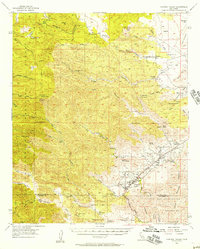
Other maps of this area

1901 · Southern California Sheet No. 1
USGS Topo · 1:250,000

1902 · San Gorgonio
USGS Topo · 1:125,000

1904 · Southern California Sheet No. 1
USGS Topo · 1:250,000
1947 · Lucerne Valley
USGS Topo · 1:62,500
1949 · Lucerne Valley
USGS Topo · 1:62,500

1953 · San Bernardino
USGS Topo · 1:250,000
1954 · San Gorgonio Mountain
USGS Topo · 1:62,500
1955 · Old Woman Springs
USGS Topo · 1:62,500
1955 · Morongo Valley
USGS Topo · 1:62,500

1956 · San Bernardino
USGS Topo · 1:250,000