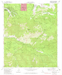
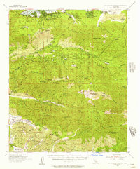
1970 Map of Moonridge
USGS Topo · Published 1983About this map
The community of Sugarloaf and the high-elevation development of Moonridge anchor this study of the eastern San Bernardino Mountains. Set during a period of transition in land use, the map documents the recreational infrastructure of the area, featuring the Gold Mine Ski Area and an extensive network of youth and religious retreats like Camp San Gorgonio, Camp Akela, and University Camp. These sites are clustered around the drainage of the Santa Ana River and the high flats of the San Bernardino National Forest.
Find a feature on this map
50 named features on this map. Tap any name to fly to it.
Don’t see what you’re looking for? This feature index may not catch every label — zoom into the map to look around manually.
Map Details
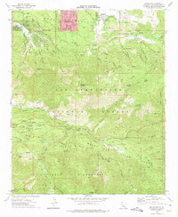
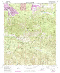
Editions of this 1970 Moonridge Map
3 editions found
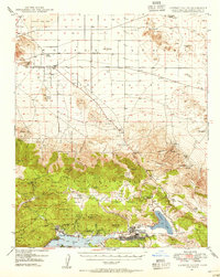
Other maps of this area

1901 · Southern California Sheet No. 1
USGS Topo · 1:250,000

1902 · San Gorgonio
USGS Topo · 1:125,000

1904 · Southern California Sheet No. 1
USGS Topo · 1:250,000
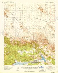
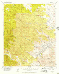
1947 · Lucerne Valley
USGS Topo · 1:62,500
1949 · Lucerne Valley
USGS Topo · 1:62,500

1953 · San Bernardino
USGS Topo · 1:250,000
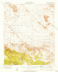
1954 · San Gorgonio Mountain
USGS Topo · 1:62,500
1955 · Old Woman Springs
USGS Topo · 1:62,500
1955 · Morongo Valley
USGS Topo · 1:62,500

1956 · San Bernardino
USGS Topo · 1:250,000