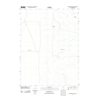
2011 Map of Moonshine Canyon
USGS Topo · Published 2011About this map
Double H Mountains define the high ground of this Nevada landscape, transitioning sharply into the broad expanse of the Kings River Valley to the west. This 2011 survey illustrates a classic Great Basin environment where seasonal water sources are the primary landmarks. The eponymous Moonshine Canyon cuts through the northeastern reaches, while a series of isolated water points, including Rock Spring, Middle Spring, and Garden Spring, suggest the critical importance of reliable water for livestock or travelers in this arid region. The drainage network is dominated by the recurring paths of Dry Creek, which meanders across the eastern slopes of the mountains, indicating a landscape shaped by intermittent but powerful hydrological events.
Find a feature on this map
7 named features on this map. Tap any name to fly to it.
Don’t see what you’re looking for? This feature index may not catch every label — zoom into the map to look around manually.
Map Details
Editions of this 2011 Moonshine Canyon Map
This is the sole edition of this map. No revisions or reprints were ever made.
Other maps of this area

1882 · Paradise
USGS Topo · 1:250,000

1886 · Disaster
USGS Topo · 1:250,000

1893 · Paradise
USGS Topo · 1:250,000

1893 · Disaster
USGS Topo · 1:250,000

1954 · Vya
USGS Topo · 1:250,000

1955 · McDermitt
USGS Topo · 1:250,000

1958 · Vya
USGS Topo · 1:250,000

1958 · Awakening Peak
USGS Topo · 1:62,500

1959 · McDermitt
USGS Topo · 1:250,000

1959 · Orovada
USGS Topo · 1:62,500