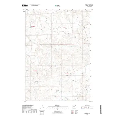
2017 Map of Moore Hill
USGS Topo · Published 2017About this map
Moore Hill and the surrounding high plains of Crook County are defined by a complex network of canyons and drainage systems feeding into the Belle Fourche River. The landscape is etched with landmarks named for early settlers and topographical features, such as Bush Canyon, Barnard Canyon, and Barlow Canyon. Local transit and ranching operations are supported by a grid of county routes, including Newhaven Rd and Co Rd 32, which weave through the draws and plateaus.
Find a feature on this map
30 named features on this map. Tap any name to fly to it.
Don’t see what you’re looking for? This feature index may not catch every label — zoom into the map to look around manually.
Map Details
Editions of this 2017 Moore Hill Map
This is the sole edition of this map. No revisions or reprints were ever made.
Other maps of this area

1905 · Devils Tower
USGS Topo · 1:125,000

1954 · Strawberry Hill
USGS Topo · 1:24,000

1954 · Storm Hill
USGS Topo · 1:24,000

1954 · Missouri Buttes
USGS Topo · 1:24,000

1954 · Gillette
USGS Topo · 1:250,000

1955 · Devils Tower
USGS Topo · 1:62,500

1955 · Gillette
USGS Topo · 1:250,000

1957 · Oshoto
USGS Topo · 1:62,500

1957 · Seely
USGS Topo · 1:62,500

1957 · Cedar Ridge
USGS Topo · 1:62,500