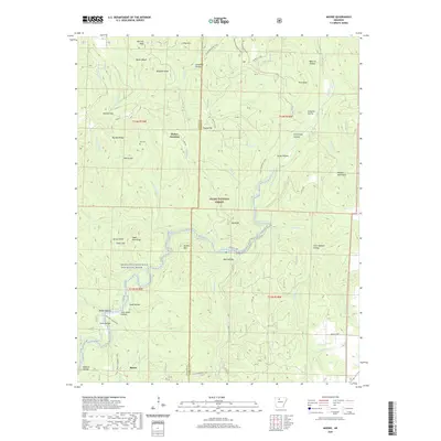
2020 Map of Moore
USGS Topo · Published 2020About this map
The Boston Mountains define the high elevations of this Newton and Searcy County landscape, where the settlement of Moore sits at a crossroads near the southern edge of the survey. The terrain is deeply incised by a network of drainages, most notably the Richland Creek Wild and Scenic River and its many tributaries like Falling Water Cr and Bobtail Cr. These waterways have carved numerous named hollows, including Jack Jones Hollow, Rose Hollow, and Bearcat Hollow, which likely served as early avenues for settlement and timber harvesting.
Find a feature on this map
61 named features on this map. Tap any name to fly to it.
Don’t see what you’re looking for? This feature index may not catch every label — zoom into the map to look around manually.
Map Details
Editions of this 2020 Moore Map
This is the sole edition of this map. No revisions or reprints were ever made.
Other maps of this area

1879 · Washington
USGS Topo · 1:62,500

1887 · Smyrna
USGS Topo · 1:62,500

1889 · Treat
USGS Topo · 1:62,500

1889 · Marshall #3
USGS Topo · 1:62,500

1892 · Marshall
USGS Topo · 1:125,000

1894 · Marshall
USGS Topo · 1:125,000

1901 · Marshall
USGS Topo · 1:125,000

1932 · Treat
USGS Topo · 1:62,500

1933 · Mt Judea
USGS Topo · 1:62,500

1934 · Treat
USGS Topo · 1:62,500