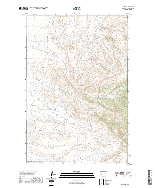
2024 Map of Moore SW
USGS Topo · Published 2024About this map
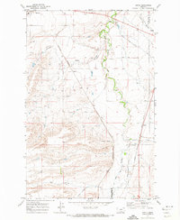
Garneill anchors the southwestern corner of this Fergus County landscape, where the plains of central Montana meet the rising slopes of the Big Snowy Mountains. This area is defined by a network of drainage systems, most notably Buffalo Creek, which snakes through the center of the sheet, and Dry Creek, which flows across the southern reaches. The map documents a rural transition between high-altitude topography and the lower creek beds, including Meadow Creek and Little Trout Creek.
Find a feature on this map
21 named features on this map. Tap any name to fly to it.
Don’t see what you’re looking for? This feature index may not catch every label — zoom into the map to look around manually.
Map Details
Editions of this 2024 Moore SW Map
This is the sole edition of this map. No revisions or reprints were ever made.
Other maps of this area

1889 · Big Snowy Mountain
USGS Topo · 1:250,000

1893 · Big Snowy Mountain
USGS Topo · 1:250,000

1954 · Roundup
USGS Topo · 1:250,000

1958 · Roundup
USGS Topo · 1:250,000
1970 · Buffalo
USGS Topo · 1:24,000

1970 · Crystal Lake
USGS Topo · 1:24,000

1970 · Moore
USGS Topo · 1:24,000
1970 · West Fork Beaver Creek
USGS Topo · 1:24,000
1970 · Moore SW
USGS Topo · 1:24,000
1970 · Sipple
USGS Topo · 1:24,000