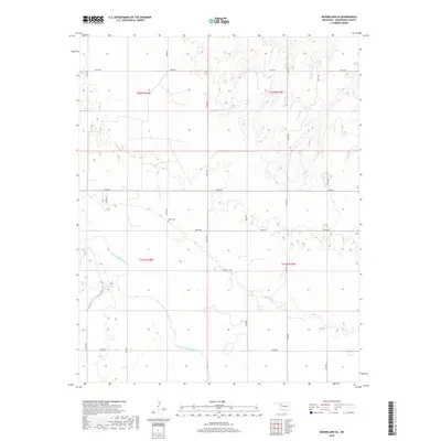
2018 Map of Mooreland SE
USGS Topo · Published 2018About this map
The North Canadian River meanders across the southern portion of this Woodward County landscape, defining the local drainage and topography in an area characterized by a systematic grid of section roads. This 2018 survey captures the rural character of the region, where the intersection of N2200 Rd and E0480 Rd provides a central reference point for local navigation. A significant landmark for genealogists and local historians is the Miller Cem, a small burial ground situated north of the river near the junction of e0490 RD and N2200 Rd. The map detail reflects the persistence of the Public Land Survey System, with township and range lines such as t21n r18w and t22n r18w clearly delineating the legal boundaries that have shaped land ownership in this part of Oklahoma for generations.
Find a feature on this map
20 named features on this map. Tap any name to fly to it.
Don’t see what you’re looking for? This feature index may not catch every label — zoom into the map to look around manually.
Map Details
Editions of this 2018 Mooreland SE Map
This is the sole edition of this map. No revisions or reprints were ever made.
Other maps of this area

1955 · Woodward
USGS Topo · 1:250,000

1958 · Woodward
USGS Topo · 1:250,000

1969 · Mooreland SE
USGS Topo · 1:24,000

1969 · Belva
USGS Topo · 1:24,000

1969 · Quinlan
USGS Topo · 1:24,000

1969 · Mooreland
USGS Topo · 1:24,000

1969 · Cedardale
USGS Topo · 1:24,000

1969 · Mooreland SW
USGS Topo · 1:24,000

1969 · Mutual
USGS Topo · 1:24,000

1969 · Mutual NE
USGS Topo · 1:24,000