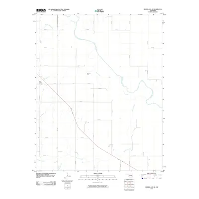
2010 Map of Mooreland SW
USGS Topo · Published 2010About this map
Moscow Flats occupies the central landscape of this Woodward County survey, where the wide meanders of the North Canadian River cut a winding path across the northern half of the quadrangle. This area is defined by its drainage systems, with the waters of Indian Creek and Sand Creek feeding into the main river channel from the north and west. The southern portion of the map is dominated by the long course of Persimmon Creek, which flows northeastward through the section lines of the rural grid. Cultural landmarks are concentrated along the section-line roads, notably the North Chapel Cemetery located in the west near Sand Creek. The map reflects a predominantly agricultural region organized by a strict network of local routes like N2140 Rd and E0480 Rd, which provide access to the dispersed homesteads and farms of this Oklahoma prairie.
Find a feature on this map
24 named features on this map. Tap any name to fly to it.
Don’t see what you’re looking for? This feature index may not catch every label — zoom into the map to look around manually.
Map Details
Editions of this 2010 Mooreland SW Map
This is the sole edition of this map. No revisions or reprints were ever made.
Other maps of this area

1955 · Woodward
USGS Topo · 1:250,000

1958 · Woodward
USGS Topo · 1:250,000

1969 · Mooreland SE
USGS Topo · 1:24,000

1969 · Quinlan
USGS Topo · 1:24,000

1969 · Mooreland
USGS Topo · 1:24,000

1969 · Sharon
USGS Topo · 1:24,000

1969 · Woodward NE
USGS Topo · 1:24,000

1969 · Mooreland SW
USGS Topo · 1:24,000

1969 · Mutual
USGS Topo · 1:24,000

1969 · Vici
USGS Topo · 1:24,000