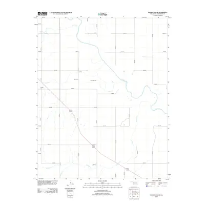
2012 Map of Mooreland SW
USGS Topo · Published 2012About this map
Moscow Flats occupies a central position within this Woodward County landscape, situated where the high plains begin to break toward the drainage of the N Canadian River. This 2012 survey illustrates a classic Western Oklahoma section-line grid, where rural roads like e0470 RD and n2130 RD partition the land into predictable square-mile blocks.
Find a feature on this map
29 named features on this map. Tap any name to fly to it.
Don’t see what you’re looking for? This feature index may not catch every label — zoom into the map to look around manually.
Map Details
Editions of this 2012 Mooreland SW Map
This is the sole edition of this map. No revisions or reprints were ever made.
Other maps of this area

1955 · Woodward
USGS Topo · 1:250,000

1958 · Woodward
USGS Topo · 1:250,000

1969 · Mooreland SE
USGS Topo · 1:24,000

1969 · Quinlan
USGS Topo · 1:24,000

1969 · Mooreland
USGS Topo · 1:24,000

1969 · Sharon
USGS Topo · 1:24,000

1969 · Woodward NE
USGS Topo · 1:24,000

1969 · Mooreland SW
USGS Topo · 1:24,000

1969 · Mutual
USGS Topo · 1:24,000

1969 · Vici
USGS Topo · 1:24,000