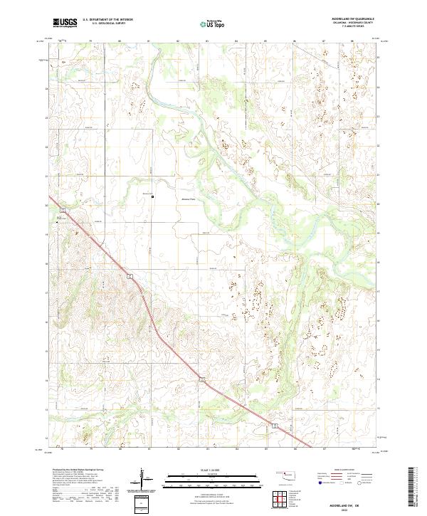
2022 Map of Mooreland SW
USGS Topo · Published 2022About this map
Moscow Flats occupies a central position within this Woodward County landscape, situated on a terrace north of the meandering North Canadian River. The area is characterized by a series of significant watercourses, including Indian Cr and Sand Cr, which drain into the river valley. Evidence of long-standing community history is visible in the placement of Moscow Cem and North Chapel Cem, providing essential touchstones for genealogical research in this rural Oklahoma territory. The transportation network is defined by a rigorous grid of section-line roads, such as n2130 RD and e0480 RD, while the modern corridor of 183 270 cuts diagonally across the townships, reflecting the evolution of travel from early settlement patterns to contemporary highway infrastructure. Further south, Persimmon Cr and Hackberry Cr wind through the terrain, illustrating the hydrologic character of the Cimarron River watershed.
Find a feature on this map
31 named features on this map. Tap any name to fly to it.
Don’t see what you’re looking for? This feature index may not catch every label — zoom into the map to look around manually.
Map Details
Editions of this 2022 Mooreland SW Map
This is the sole edition of this map. No revisions or reprints were ever made.
Other maps of this area

1955 · Woodward
USGS Topo · 1:250,000

1958 · Woodward
USGS Topo · 1:250,000

1969 · Mooreland SE
USGS Topo · 1:24,000

1969 · Quinlan
USGS Topo · 1:24,000

1969 · Mooreland
USGS Topo · 1:24,000

1969 · Sharon
USGS Topo · 1:24,000

1969 · Woodward NE
USGS Topo · 1:24,000

1969 · Mooreland SW
USGS Topo · 1:24,000

1969 · Mutual
USGS Topo · 1:24,000

1969 · Vici
USGS Topo · 1:24,000