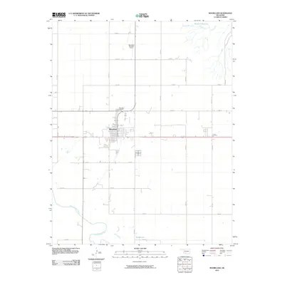
2010 Map of Mooreland
USGS Topo · Published 2010About this map
Mooreland serves as the central hub of this Northwest Oklahoma landscape, situated at the intersection of regional thoroughfares and a local rail corridor. The town's layout reflects a classic grid pattern typical of Plains settlements, with the Mooreland Cemetery located just north of the residential core. To the south, the meandering course of the North Canadian River defines the lower boundary of the quadrangle, creating a distinct topographical contrast to the structured agricultural sections above.
Find a feature on this map
24 named features on this map. Tap any name to fly to it.
Don’t see what you’re looking for? This feature index may not catch every label — zoom into the map to look around manually.
Map Details
Editions of this 2010 Mooreland Map
This is the sole edition of this map. No revisions or reprints were ever made.
Other maps of this area

1955 · Woodward
USGS Topo · 1:250,000

1958 · Woodward
USGS Topo · 1:250,000

1969 · Mooreland SE
USGS Topo · 1:24,000

1969 · Quinlan
USGS Topo · 1:24,000

1969 · Mooreland
USGS Topo · 1:24,000

1969 · Sharon
USGS Topo · 1:24,000

1969 · Woodward NE
USGS Topo · 1:24,000

1969 · Mooreland SW
USGS Topo · 1:24,000

1970 · Fairvalley SW
USGS Topo · 1:24,000

1970 · Fairvalley SE
USGS Topo · 1:24,000