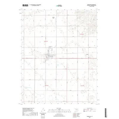
2018 Map of Mooreland
USGS Topo · Published 2018About this map
The town of Mooreland serves as the central hub of this Northwest Oklahoma landscape, situated within a grid of section-line roads that define the region's agricultural character. This 2018 survey by the U.S. Geological Survey illustrates the structured layout of the town, featuring streets such as N Main St and S Laird, as well as the proximity of the Mooreland Municipal Airport. To the east, the smaller settlement of Curtis remains a distinct point of interest for local history, marked by the nearby Curtis Cem.
Find a feature on this map
43 named features on this map. Tap any name to fly to it.
Don’t see what you’re looking for? This feature index may not catch every label — zoom into the map to look around manually.
Map Details
Editions of this 2018 Mooreland Map
This is the sole edition of this map. No revisions or reprints were ever made.
Other maps of this area

1955 · Woodward
USGS Topo · 1:250,000

1958 · Woodward
USGS Topo · 1:250,000

1969 · Mooreland SE
USGS Topo · 1:24,000

1969 · Quinlan
USGS Topo · 1:24,000

1969 · Mooreland
USGS Topo · 1:24,000

1969 · Sharon
USGS Topo · 1:24,000

1969 · Woodward NE
USGS Topo · 1:24,000

1969 · Mooreland SW
USGS Topo · 1:24,000

1970 · Fairvalley SW
USGS Topo · 1:24,000

1970 · Fairvalley SE
USGS Topo · 1:24,000