Loading...
Loading map...2022 Map of Mooreland
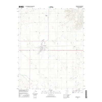
USGS Topo · Published 2022About this map
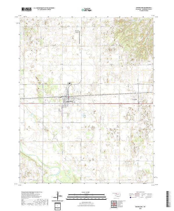
Mooreland serves as the primary hub of this Woodward County landscape, situated where the grid of town streets meets the agricultural expanses of northwestern Oklahoma. The town's layout is centered around several key thoroughfares including N Main St and S Elm St, with the Mooreland Municipal Airport nearby providing a connection to the wider region. To the east, the smaller community of Curtis remains a distinct marker along the rail and road corridor.
Find a feature on this map
44 named features on this map. Tap any name to fly to it.
Don’t see what you’re looking for? This feature index may not catch every label — zoom into the map to look around manually.
Map Details
Date Portrayed2022
Date Published2022
PublisherU.S. Geological Survey
Map TypeTopographic
Scale1:24,000
Physical Dimensions24 x 29 inches
Editions of this 2022 Mooreland Map
This is the sole edition of this map. No revisions or reprints were ever made.
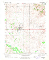
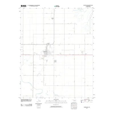
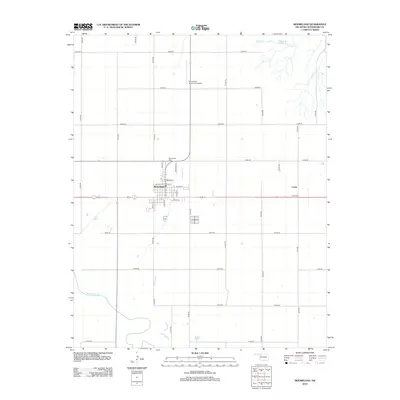
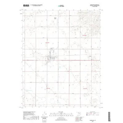
Historical Maps of Mooreland Through Time
6 maps found
Featured Locations
Source Details
SourceU.S. Geological Survey
CopyrightPublic Domain