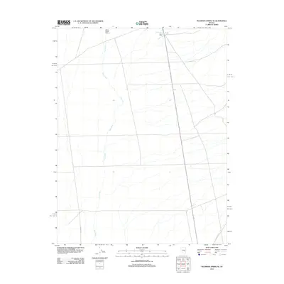
2012 Map of Moorman Spring SE
USGS Topo · Published 2012About this map
The White River valley south of its namesake spring anchors this landscape in Nye County, showing a sparse high-desert settlement pattern in the early 21st century. The map centers on the small ranching outpost of Riorden and the nearby Carter Ranch, which sit near the intersection of the valley floor and the rising eastern foothills. Water remains the primary shaper of human activity here, evidenced by Emigrant Spring and the drainage network that flows across the White Horse Pasture. This 2012 survey captures a remote portion of the Great Basin where life follows the availability of water, connected to the wider world by a handful of vital arteries like Shingle Pass Rd and Forest Rd 410.
Find a feature on this map
7 named features on this map. Tap any name to fly to it.
Don’t see what you’re looking for? This feature index may not catch every label — zoom into the map to look around manually.
Map Details
Editions of this 2012 Moorman Spring SE Map
This is the sole edition of this map. No revisions or reprints were ever made.
Other maps of this area

1956 · Lund
USGS Topo · 1:250,000

1960 · Lund
USGS Topo · 1:250,000

1969 · Shingle Pass
USGS Topo · 1:24,000

1969 · Sunnyside
USGS Topo · 1:24,000

1969 · Moorman Spring SE
USGS Topo · 1:24,000

1969 · Sunnyside NW
USGS Topo · 1:24,000

1969 · Moorman Spring NW
USGS Topo · 1:24,000

1969 · Moorman Spring
USGS Topo · 1:24,000

1969 · Moorman Spring NE
USGS Topo · 1:24,000

1969 · Haggerty Spring
USGS Topo · 1:24,000