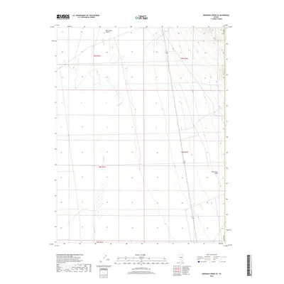
2018 Map of Moorman Spring SE
USGS Topo · Published 2018About this map
White River Valley defines this section of the high desert, where the intermittent course of the White River winds southward through open basin lands. In the northeast, Emigrant Springs marks a critical water source in an otherwise arid landscape, situated just below the rising slopes of the adjacent hills. The terrain is characterized by the expansive White Horse Pasture, a name that reflects the area's long-standing use for livestock grazing within the Great Basin. This 2018 survey documents the enduring physical geography of Nye County, illustrating the sparse but vital water features that have historically dictated movement and land use across this remote portion of Nevada.
Find a feature on this map
10 named features on this map. Tap any name to fly to it.
Don’t see what you’re looking for? This feature index may not catch every label — zoom into the map to look around manually.
Map Details
Editions of this 2018 Moorman Spring SE Map
This is the sole edition of this map. No revisions or reprints were ever made.
Other maps of this area

1956 · Lund
USGS Topo · 1:250,000

1960 · Lund
USGS Topo · 1:250,000

1969 · Shingle Pass
USGS Topo · 1:24,000

1969 · Sunnyside
USGS Topo · 1:24,000

1969 · Moorman Spring SE
USGS Topo · 1:24,000

1969 · Sunnyside NW
USGS Topo · 1:24,000

1969 · Moorman Spring NW
USGS Topo · 1:24,000

1969 · Moorman Spring
USGS Topo · 1:24,000

1969 · Moorman Spring NE
USGS Topo · 1:24,000

1969 · Haggerty Spring
USGS Topo · 1:24,000