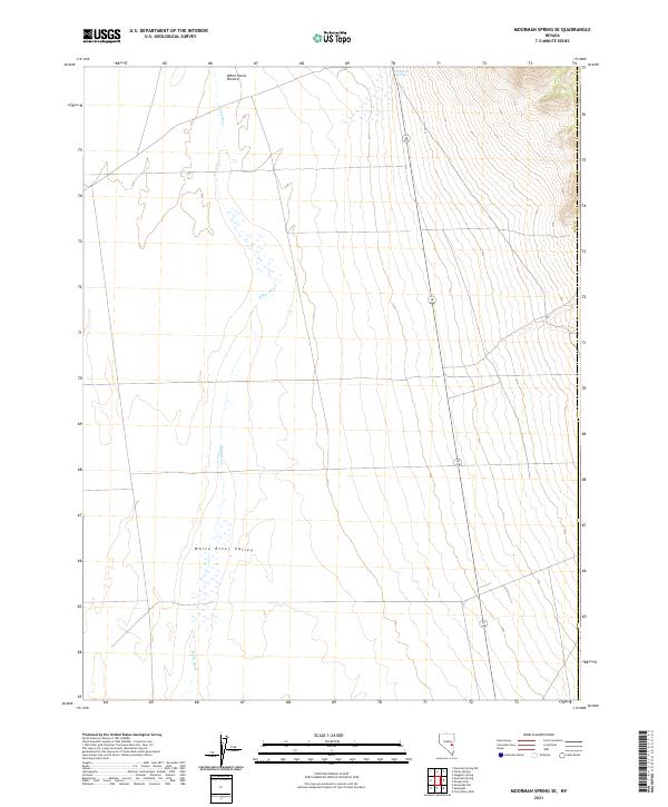
2021 Map of Moorman Spring SE
USGS Topo · Published 2021About this map
White River Valley dominates this desert landscape, where the seasonal flow of the White River carves through the arid terrain of Nye County. This 2021 digital survey documents the topographical character of the basin, highlighted by the concentration of moisture at Emigrant Springs in the northern portion of the sheet. The area is defined by its wide, open spaces like the White Horse Pasture, reflecting a land use pattern focused on high-desert grazing and water management. Unlike more developed regions, the primary infrastructure here is sparse, consisting mainly of the north-south corridor of Route 318, which provides the only significant transit through this corner of the valley.
Find a feature on this map
11 named features on this map. Tap any name to fly to it.
Don’t see what you’re looking for? This feature index may not catch every label — zoom into the map to look around manually.
Map Details
Editions of this 2021 Moorman Spring SE Map
This is the sole edition of this map. No revisions or reprints were ever made.
Other maps of this area

1956 · Lund
USGS Topo · 1:250,000

1960 · Lund
USGS Topo · 1:250,000

1969 · Shingle Pass
USGS Topo · 1:24,000

1969 · Sunnyside
USGS Topo · 1:24,000

1969 · Moorman Spring SE
USGS Topo · 1:24,000

1969 · Sunnyside NW
USGS Topo · 1:24,000

1969 · Moorman Spring NW
USGS Topo · 1:24,000

1969 · Moorman Spring
USGS Topo · 1:24,000

1969 · Moorman Spring NE
USGS Topo · 1:24,000

1969 · Haggerty Spring
USGS Topo · 1:24,000