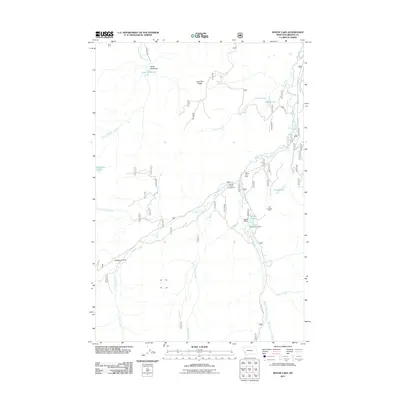
2011 Map of Moose Lake
USGS Topo · Published 2011About this map
Bentz Mine and the Old Dominion Mine sit among the high drainage systems of the Anaconda Range in this Granite County study. The landscape is defined by the convergence of the Middle Fork Rock Creek and its many tributaries, including Senate Creek and Copper Creek. This area of the Beaverhead-Deerlodge National Forest is a high-altitude basin where water collection points like Moose Lake, Susie Lake, and Whetstone Lake are interspersed with topographic landmarks like Lone Pine Ridge. The distribution of the Abe Lincone Mine, Banner Mine, and Moose Lake Mine reflects a legacy of extraction centered around the creek valleys. Modern recreation is represented by the Copper Creek Campground, situated where the Moose Lake Rd meets the water.
Find a feature on this map
25 named features on this map. Tap any name to fly to it.
Don’t see what you’re looking for? This feature index may not catch every label — zoom into the map to look around manually.
Map Details
Editions of this 2011 Moose Lake Map
This is the sole edition of this map. No revisions or reprints were ever made.
Other maps of this area

1908 · Philipsburg
USGS Topo · 1:125,000

1909 · Sapphire
USGS Topo · 1:125,000

1947 · Butte
USGS Topo · 1:250,000

1955 · Dillon
USGS Topo · 1:250,000

1957 · Dillon
USGS Topo · 1:250,000

1958 · Butte
USGS Topo · 1:250,000

1958 · Dillon
USGS Topo · 1:250,000

1960 · Butte
USGS Topo · 1:250,000

1962 · Butte
USGS Topo · 1:250,000

1962 · Dillon
USGS Topo · 1:250,000