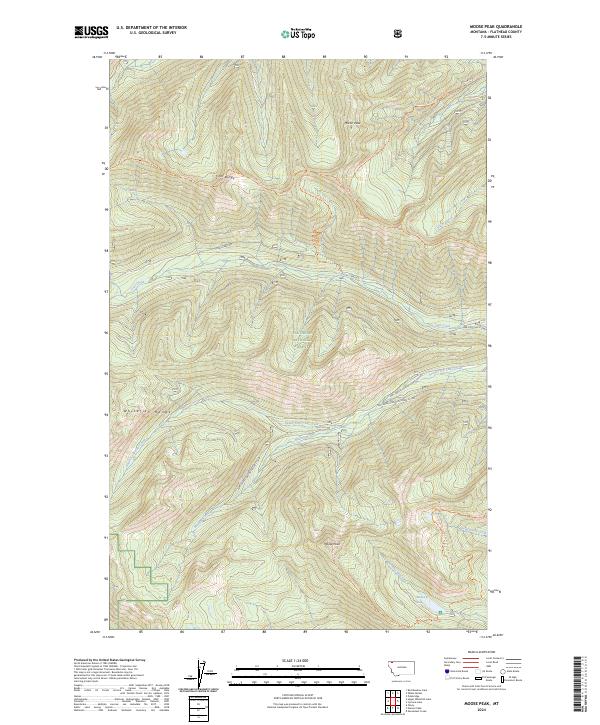
2024 Map of Moose Peak
USGS Topo · Published 2024About this map
Flathead National Forest encompasses this high-elevation landscape within the Whitefish Range, where complex drainage systems and prominent ridgelines define the terrain. The northern portion is dominated by the heights of Coal Ridge and Moran Peak, with Coal Creek and its various tributaries, including the South Fork Coal Creek, carving deep valleys through the mountains. To the south, Moose Peak rises as a major landmark overlooking Moose Lake and the headwaters of Kletomus Creek.
Find a feature on this map
25 named features on this map. Tap any name to fly to it.
Don’t see what you’re looking for? This feature index may not catch every label — zoom into the map to look around manually.
Map Details
Editions of this 2024 Moose Peak Map
This is the sole edition of this map. No revisions or reprints were ever made.
Other maps of this area

1906 · Kintla Lakes
USGS Topo · 1:125,000

1913 · Stryker
USGS Topo · 1:125,000

1916 · Stryker
USGS Topo · 1:125,000

1938 · Kintla Lakes
USGS Topo · 1:125,000

1957 · Kalispell
USGS Topo · 1:250,000

1960 · Kalispell
USGS Topo · 1:250,000

1961 · Kalispell
USGS Topo · 1:250,000

1966 · Red Meadow Lake
USGS Topo · 1:24,000
1966 · Olney
USGS Topo · 1:24,000
1966 · Skookoleel Creek
USGS Topo · 1:24,000