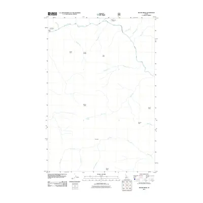
2011 Map of Moose Ridge
USGS Topo · Published 2011About this map
The Selway River snakes across the northern portion of this landscape, serving as a primary corridor through a region defined by sharp elevation changes and high ridges. The Moose Creek Airport stands out as a critical access point in this backcountry, situated near the confluence of several drainages including Tony Creek and Clamp Creek. This area of Idaho County is characterized by named landmarks that reflect a history of backcountry travel and lookouts, such as Patrol Point, Grizzly Saddle, and Shearer Peak. To the west, Cedar Flats and the Cedar Flats Campground indicate a concentrated area for recreation and camping along the riverbanks. The mapping of interior features like Fox Park and Moose Ridge suggests a complex network of seasonal drainages and high-altitude basins that have long supported forest service activities and wilderness exploration.
Find a feature on this map
24 named features on this map. Tap any name to fly to it.
Don’t see what you’re looking for? This feature index may not catch every label — zoom into the map to look around manually.
Map Details
Editions of this 2011 Moose Ridge Map
This is the sole edition of this map. No revisions or reprints were ever made.
Other maps of this area

1911 · Lolo
USGS Topo · 1:250,000

1913 · Lolo
USGS Topo · 1:250,000

1956 · Elk City
USGS Topo · 1:250,000

1956 · Hamilton
USGS Topo · 1:250,000

1959 · Hamilton
USGS Topo · 1:250,000

1960 · Elk City
USGS Topo · 1:250,000

1960 · Hamilton
USGS Topo · 1:250,000

1964 · Hamilton
USGS Topo · 1:250,000

1966 · Moose Ridge
USGS Topo · 1:24,000

1966 · Dog Creek
USGS Topo · 1:24,000