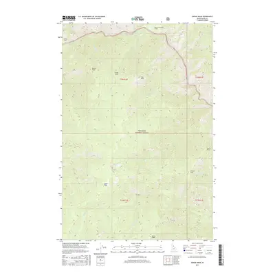
2017 Map of Moose Ridge
USGS Topo · Published 2017About this map
The Selway River carves through the heart of the Nez Perce National Forest in this central Idaho survey, revealing a landscape defined by dramatic elevation changes and remote outposts. The presence of the Moose Creek/USFS Airport near the northern boundary highlights the area's reliance on air access for forest management and backcountry travel. While permanent settlements are sparse, the map identifies small clearings and named points such as Cedar Flats and Fox Park that have long served as landmarks for travelers and foresters. High-altitude features like Shearer Peak and Moose Ridge dominate the southern half, while the drainage network includes unique markers such as Double Drop Rapids and the curiously named Bitch Lake. The terrain is segmented by numerous creeks including Divide Cr and Lonesome Cr, which feed into the primary river system.
Find a feature on this map
34 named features on this map. Tap any name to fly to it.
Don’t see what you’re looking for? This feature index may not catch every label — zoom into the map to look around manually.
Map Details
Editions of this 2017 Moose Ridge Map
This is the sole edition of this map. No revisions or reprints were ever made.
Other maps of this area

1911 · Lolo
USGS Topo · 1:250,000

1913 · Lolo
USGS Topo · 1:250,000

1956 · Elk City
USGS Topo · 1:250,000

1956 · Hamilton
USGS Topo · 1:250,000

1959 · Hamilton
USGS Topo · 1:250,000

1960 · Elk City
USGS Topo · 1:250,000

1960 · Hamilton
USGS Topo · 1:250,000

1964 · Hamilton
USGS Topo · 1:250,000

1966 · Moose Ridge
USGS Topo · 1:24,000

1966 · Dog Creek
USGS Topo · 1:24,000