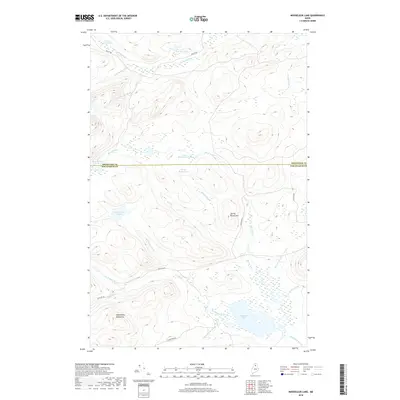
2018 Map of Mooseleuk Lake
USGS Topo · Published 2018About this map
Mooseleuk Lake serves as the central hydrographic feature of this remote North Maine Woods quadrangle, where Mooseleuk Stream begins its winding course through the timberlands. The landscape is defined by its complex network of water bodies, including McNally Deadwater, Lower Deadwater Pond, and the isolated McPherson Pond. The topography rises sharply at the Mule Brook Mountains in the southwest and Spring Brook Hill near the center of the sheet, revealing the elevation changes that dictate the flow of the numerous brooks like Big Hudson Brook and Chase Brook.
Find a feature on this map
26 named features on this map. Tap any name to fly to it.
Don’t see what you’re looking for? This feature index may not catch every label — zoom into the map to look around manually.
Map Details
Editions of this 2018 Mooseleuk Lake Map
This is the sole edition of this map. No revisions or reprints were ever made.
Other maps of this area

1931 · Mooseleuk Lake
USGS Topo · 1:48,000

1932 · Musquacook Lakes
USGS Topo · 1:48,000

1935 · Musquacook Lakes
USGS Topo · 1:62,500

1935 · Mooseleuk Lake
USGS Topo · 1:62,500

1954 · Spider Lake
USGS Topo · 1:62,500

1954 · Millinocket Lake
USGS Topo · 1:62,500

1954 · Presque Isle
USGS Topo · 1:250,000

1958 · Presque Isle
USGS Topo · 1:250,000

1960 · Presque Isle
USGS Topo · 1:250,000

1961 · Spider Lake
USGS Topo · 1:62,500