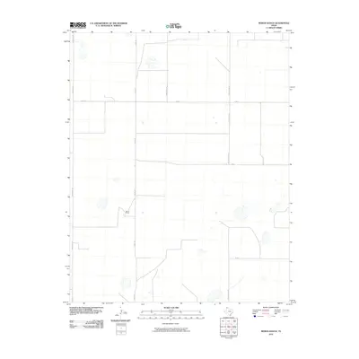
2010 Map of Moran Ranch
USGS Topo · Published 2010About this map
Moran Ranch and its surrounding agricultural infrastructure dominate this area of Moore County, Texas, as documented in 2010. The landscape is defined by a rigorous grid of ranch and farm roads that facilitate the movement of livestock and crops across the High Plains. Transport arteries like Monsanto Rd, Chair C Rd, and Farm Store Rd suggest a landscape geared toward industrial-scale agriculture and resource extraction, common in this part of the Panhandle.
Find a feature on this map
12 named features on this map. Tap any name to fly to it.
Don’t see what you’re looking for? This feature index may not catch every label — zoom into the map to look around manually.
Map Details
Editions of this 2010 Moran Ranch Map
This is the sole edition of this map. No revisions or reprints were ever made.
Other maps of this area

1954 · Tucumcari
USGS Topo · 1:250,000

1954 · Dalhart
USGS Topo · 1:250,000

1958 · Tucumcari
USGS Topo · 1:250,000

1958 · Dalhart
USGS Topo · 1:250,000

1962 · Dalhart
USGS Topo · 1:250,000

1963 · Hartley SE
USGS Topo · 1:24,000

1963 · Hartley NE
USGS Topo · 1:24,000

1963 · Bird Ranch Store
USGS Topo · 1:24,000

1963 · Stallwitz Lake
USGS Topo · 1:24,000

1963 · Moran Ranch
USGS Topo · 1:24,000