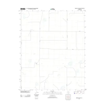
2012 Map of Moran Ranch
USGS Topo · Published 2012About this map
Moran Ranch serves as the central namesake for this high-plains landscape in Moore County, characterized by a vast and orderly grid of rural transport routes. The map illustrates a transitional period in regional ranching and agricultural infrastructure, where historical land divisions are reflected in the precise alignment of roads like Chair C Rd and Co Rd 49. This network of local thoroughfares, including the long stretch of Farm Road 3138 and the dividing line of Countyline Rd, facilitates movement across the open range. Small, scattered water features dot the terrain, providing essential resources for the cattle operations that define this portion of the Texas Panhandle. The layout of W Road G and W Road I emphasizes the large-scale spatial organization required for managing expansive ranch lands in the modern era.
Find a feature on this map
14 named features on this map. Tap any name to fly to it.
Don’t see what you’re looking for? This feature index may not catch every label — zoom into the map to look around manually.
Map Details
Editions of this 2012 Moran Ranch Map
This is the sole edition of this map. No revisions or reprints were ever made.
Other maps of this area

1954 · Tucumcari
USGS Topo · 1:250,000

1954 · Dalhart
USGS Topo · 1:250,000

1958 · Tucumcari
USGS Topo · 1:250,000

1958 · Dalhart
USGS Topo · 1:250,000

1962 · Dalhart
USGS Topo · 1:250,000

1963 · Hartley SE
USGS Topo · 1:24,000

1963 · Hartley NE
USGS Topo · 1:24,000

1963 · Bird Ranch Store
USGS Topo · 1:24,000

1963 · Stallwitz Lake
USGS Topo · 1:24,000

1963 · Moran Ranch
USGS Topo · 1:24,000