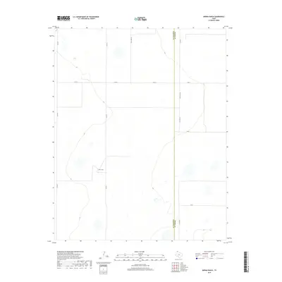
2019 Map of Moran Ranch
USGS Topo · Published 2019About this map
Moran Ranch serves as the central landmark in this high-plains landscape of the Texas Panhandle. The topography is defined by the straight-line precision of a rural grid system, most notably along the boundary between Moore and Hartley Counties. This divide is traced by several segments of County Line Rd, including N Co Line Rd and S Co Line Rd, which organize the surrounding ranchland. Roads like Farm Store Rd and Co Rd G provide access to the vast interior of the Panhandle, where the land is punctuated by ephemeral wetlands and small depressions characteristic of this semi-arid region. The map captures a contemporary look at the enduring ranching economy and the systematic division of land that defines Moore County's western edge.
Find a feature on this map
13 named features on this map. Tap any name to fly to it.
Don’t see what you’re looking for? This feature index may not catch every label — zoom into the map to look around manually.
Map Details
Editions of this 2019 Moran Ranch Map
This is the sole edition of this map. No revisions or reprints were ever made.
Other maps of this area

1954 · Tucumcari
USGS Topo · 1:250,000

1954 · Dalhart
USGS Topo · 1:250,000

1958 · Tucumcari
USGS Topo · 1:250,000

1958 · Dalhart
USGS Topo · 1:250,000

1962 · Dalhart
USGS Topo · 1:250,000

1963 · Hartley SE
USGS Topo · 1:24,000

1963 · Hartley NE
USGS Topo · 1:24,000

1963 · Bird Ranch Store
USGS Topo · 1:24,000

1963 · Stallwitz Lake
USGS Topo · 1:24,000

1963 · Moran Ranch
USGS Topo · 1:24,000