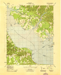
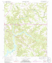
1944 Map of Morattico
USGS Topo · Published 1944This historical map portrays the area of Morattico in 1944, primarily covering Richmond County as well as portions of Lancaster County, Middlesex County, and Essex County. Featuring a scale of 1:31680, this map provides a highly detailed snapshot of the terrain, roads, buildings, counties, and historical landmarks in the Morattico region at the time. Published in 1944, it is one of 2 known editions of this map due to revisions or reprints.
Find a feature on this map
51 named features on this map. Tap any name to fly to it.
Don’t see what you’re looking for? This feature index may not catch every label — zoom into the map to look around manually.
Map Details
Editions of this 1944 Morattico Map
2 editions found
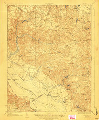
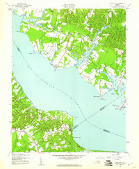
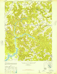
Historical Maps of Oakley Landing Through Time
12 maps found

1917 Morattico
Richmond County, VA
1918 Morattico
Richmond County, VA

1926 Morattico
Richmond County, VA

1943 Richmond
Richmond County, VA
1944 Morattico
Richmond County, VA
1947 Haynesville
Richmond County, VA

1949 Richmond
Richmond County, VA

1959 Richmond
Richmond County, VA

1964 Richmond
Richmond County, VA
1968 Haynesville
Richmond County, VA
1968 Morattico
Richmond County, VA

1973 Richmond
Richmond County, VA