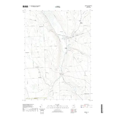
2019 Map of Moravia
USGS Topo · Published 2019About this map
Moravia sits as a primary hub within this central New York landscape, situated where Mill Creek and Dresseruille Cr meet the northward-flowing Owasco Inlet. The map reveals a high density of rural cemeteries, such as the Quaker Church Cem and Old Settlers Cem, which serve as vital markers for genealogical research in this long-settled region. The terrain is defined by significant elevation changes, from the heights of Owasco Hill and Oak Hill down to the dramatic shelf where Montville Falls and Parson Falls are located. This topography dictated the placement of early settlements like Montville and Locke, which clustered around water power and the valley floor. Transportation patterns are anchored by the north-south corridor of the inlet, while a network of upland roads, including Moravia Venice Townline Rd, connects outlying hamlets like East Venice and Goosetree to the central valley villages.
Find a feature on this map
103 named features on this map. Tap any name to fly to it.
Don’t see what you’re looking for? This feature index may not catch every label — zoom into the map to look around manually.
Map Details
Editions of this 2019 Moravia Map
This is the sole edition of this map. No revisions or reprints were ever made.
Other maps of this area

1898 · Moravia
USGS Topo · 1:62,500

1899 · Auburn
USGS Topo · 1:62,500

1899 · Skaneateles
USGS Topo · 1:62,500

1902 · Skaneateles
USGS Topo · 1:62,500

1902 · Moravia
USGS Topo · 1:62,500

1902 · Genoa
USGS Topo · 1:62,500

1902 · Auburn
USGS Topo · 1:62,500

1942 · Ludlowville
USGS Topo · 1:24,000

1942 · Groton
USGS Topo · 1:24,000

1942 · Genoa
USGS Topo · 1:24,000