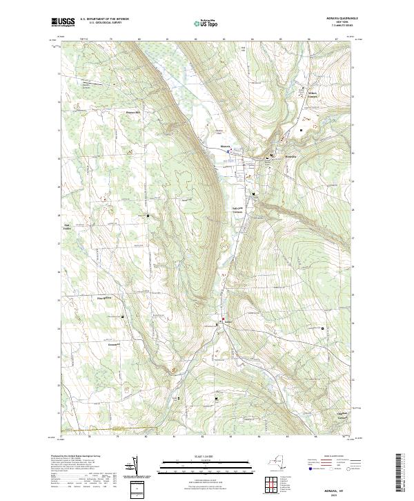
2023 Map of Moravia
USGS Topo · Published 2023About this map
Owasco Inlet carves through the center of this Finger Lakes region landscape, defining a corridor of activity that connects the village of Moravia to the hamlet of Locke. The geography is shaped by significant elevation changes, noted by the presence of Barron Falls and Montville Falls near the eastern slopes. This 2023 survey illustrates a rural interior where history is preserved in numerous family and community burial grounds, such as Saint Patricks Cem, Quaker Church Cem, and the Old Settlers Cem.
Find a feature on this map
105 named features on this map. Tap any name to fly to it.
Don’t see what you’re looking for? This feature index may not catch every label — zoom into the map to look around manually.
Map Details
Editions of this 2023 Moravia Map
This is the sole edition of this map. No revisions or reprints were ever made.
Other maps of this area

1898 · Moravia
USGS Topo · 1:62,500

1899 · Auburn
USGS Topo · 1:62,500

1899 · Skaneateles
USGS Topo · 1:62,500

1902 · Skaneateles
USGS Topo · 1:62,500

1902 · Moravia
USGS Topo · 1:62,500

1902 · Genoa
USGS Topo · 1:62,500

1902 · Auburn
USGS Topo · 1:62,500

1942 · Ludlowville
USGS Topo · 1:24,000

1942 · Groton
USGS Topo · 1:24,000

1942 · Genoa
USGS Topo · 1:24,000