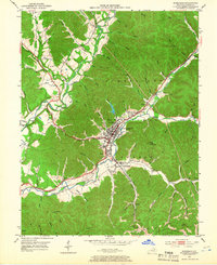
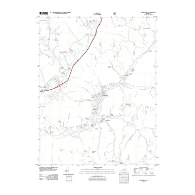
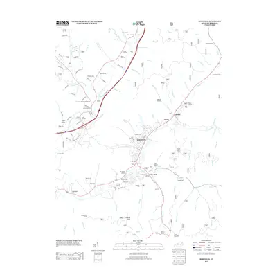
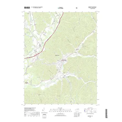
1982 Map of Morehead
USGS Topo · Published 1983About this map
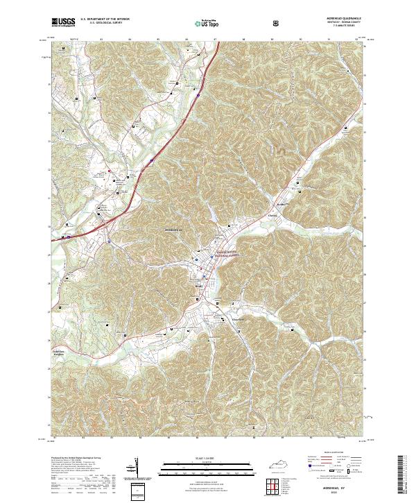
Morehead State University serves as a cultural anchor in this 1982 survey of northeastern Kentucky, where the foothills of the Appalachians meet the Bluegrass region. The landscape is defined by the significant waters of Cave Run Lake and the Licking River, which carve through the heavily timbered tracts of the Daniel Boone National Forest. Transit through these ridgelines is dominated by the corridor of Interstate 64 and the historic Chesapeake and Ohio railroad, which connect regional hubs like Mount Sterling and Flemingsburg.
Find a feature on this map
141 named features on this map. Tap any name to fly to it.
Don’t see what you’re looking for? This feature index may not catch every label — zoom into the map to look around manually.
Map Details
Editions of this 1982 Morehead Map
This is the sole edition of this map. No revisions or reprints were ever made.
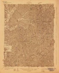
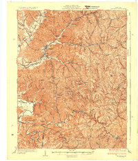
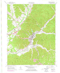
Historical Maps of Morehead Through Time
10 maps found