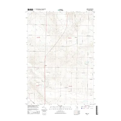
2014 Map of Morey
USGS Topo · Published 2014About this map
Pioneer and Morey serve as focal points for this rural Missaukee County landscape, where a dense grid of local roads reflects the organized land divisions of the Public Land Survey System. The terrain is characterized by the Missaukee Hills, which rise above a network of waterways including Ham Creek and Hopkins Creek. A notable hydrologic feature is Ham Creek Spring, providing a specific point of interest for those studying the local water table and natural springs in the area.
Find a feature on this map
45 named features on this map. Tap any name to fly to it.
Don’t see what you’re looking for? This feature index may not catch every label — zoom into the map to look around manually.
Map Details
Editions of this 2014 Morey Map
This is the sole edition of this map. No revisions or reprints were ever made.
Other maps of this area

1954 · Traverse City
USGS Topo · 1:250,000

1956 · Kalkaska
USGS Topo · 1:62,500

1956 · Fife Lake
USGS Topo · 1:62,500

1956 · Cadillac North
USGS Topo · 1:62,500

1956 · Lake City
USGS Topo · 1:62,500

1958 · Traverse City
USGS Topo · 1:250,000

1983 · Cadillac
USGS Topo · 1:100,000

1983 · Stittsville
USGS Topo · 1:24,000

1983 · Lake City
USGS Topo · 1:25,000
1983 · Dinca
USGS Topo · 1:25,000