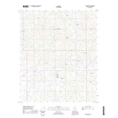
2018 Map of Morgan Butte
USGS Topo · Published 2018About this map
The Wickenburg Mountains and the winding course of the Hassayampa River dominate this landscape in central Arizona. The area is defined by a dense network of drainages and named peaks, including the prominent Morgan Butte and Table Mtn. These geological features tell a story of regional exploration and early prospecting, with names like King Solomon Gulch, Crown Point Gulch, and Denver Hill hinting at the mining interests that once scoured these slopes.
Find a feature on this map
39 named features on this map. Tap any name to fly to it.
Don’t see what you’re looking for? This feature index may not catch every label — zoom into the map to look around manually.
Map Details
Editions of this 2018 Morgan Butte Map
This is the sole edition of this map. No revisions or reprints were ever made.
Other maps of this area

1887 · Prescott
USGS Topo · 1:250,000

1892 · Prescott
USGS Topo · 1:250,000

1903 · Bradshaw Mountains
USGS Topo · 1:125,000

1903 · Congress
USGS Topo · 1:125,000

1904 · Congress
USGS Topo · 1:125,000

1947 · Crown King
USGS Topo · 1:62,500

1947 · Wagoner
USGS Topo · 1:62,500

1948 · Crown King
USGS Topo · 1:63,360

1948 · Wagoner
USGS Topo · 1:63,360

1950 · Wagoner
USGS Topo · 1:62,500