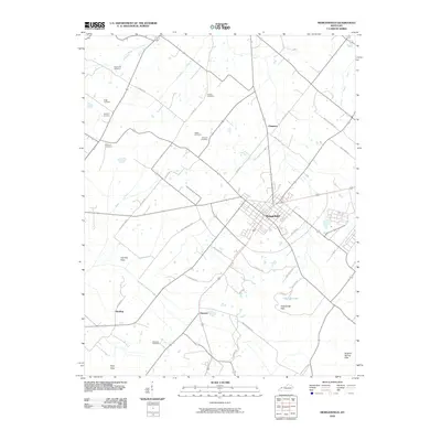
2010 Map of Morganfield
USGS Topo · Published 2010About this map
The Union County seat of Morganfield serves as the central hub for this early 21st-century landscape, where a dense grid of residential streets gives way to a network of rural roads named for established local families. The surrounding countryside is defined by several prominent upland features, including the Chalybeate Hills, Dyer Hills, and Sulphur Spring Hills, which rise above the low-lying Cypress Flats to the west. Genealogists will find this sheet particularly valuable for its density of family-named burial grounds. Significant sites such as the Waller Cemetery, Givens Cemetery, and Chatman Cemetery are preserved in the rural sections, often situated near the headwaters of local drainages like Clements Branch and Eagle Creek. The presence of small settlements like Hamner and Harding along the secondary road network illustrates the persistent rural settlement patterns that have shaped this Kentucky interior for generations.
Find a feature on this map
42 named features on this map. Tap any name to fly to it.
Don’t see what you’re looking for? This feature index may not catch every label — zoom into the map to look around manually.
Map Details
Editions of this 2010 Morganfield Map
This is the sole edition of this map. No revisions or reprints were ever made.
Other maps of this area

1905 · New Haven
USGS Topo · 1:62,500

1906 · New Haven
USGS Topo · 1:62,500

1907 · Morganfield
USGS Topo · 1:62,500

1916 · Shawneetown
USGS Topo · 1:62,500

1917 · Uniontown
USGS Topo · 1:62,500

1949 · Paducah
USGS Topo · 1:250,000

1949 · New Haven
USGS Topo · 1:62,500

1949 · Morganfield
USGS Topo · 1:24,000

1950 · Paducah
USGS Topo · 1:250,000

1951 · Waverly
USGS Topo · 1:24,000