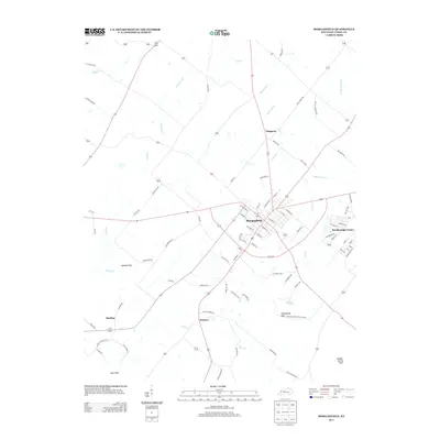
2013 Map of Morganfield
USGS Topo · Published 2013About this map
Morganfield serves as the central hub of this Union County landscape, where a dense network of local streets like E McElroy St and E Spalding St meet regional routes. The surrounding terrain is defined by complex water management and distinct landforms, featuring the Higinson Henry Wildlife Area and the waters of Mortons Lake. To the south and east, the topography rises into the Chalybeate Hills and Sulphur Spring Hills, while the western reaches transition into the low-lying Cypress Flats.
Find a feature on this map
85 named features on this map. Tap any name to fly to it.
Don’t see what you’re looking for? This feature index may not catch every label — zoom into the map to look around manually.
Map Details
Editions of this 2013 Morganfield Map
This is the sole edition of this map. No revisions or reprints were ever made.
Other maps of this area

1905 · New Haven
USGS Topo · 1:62,500

1906 · New Haven
USGS Topo · 1:62,500

1907 · Morganfield
USGS Topo · 1:62,500

1916 · Shawneetown
USGS Topo · 1:62,500

1917 · Uniontown
USGS Topo · 1:62,500

1949 · Paducah
USGS Topo · 1:250,000

1949 · New Haven
USGS Topo · 1:62,500

1949 · Morganfield
USGS Topo · 1:24,000

1950 · Paducah
USGS Topo · 1:250,000

1951 · Waverly
USGS Topo · 1:24,000