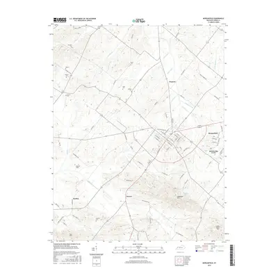
2016 Map of Morganfield
USGS Topo · Published 2016About this map
Morganfield serves as the primary hub in this Union County landscape, where residential streets like E McElroy St and N Carrier St give way to a surrounding terrain defined by an extensive system of drainage ditches and creeks. The hydrology of the area is managed through features such as Wathen Ditch, Willett Ditch, and Line Ditch, reflecting the agricultural necessity of moving water through the lowlands near Lost Cr and Eagle Cr.
Find a feature on this map
81 named features on this map. Tap any name to fly to it.
Don’t see what you’re looking for? This feature index may not catch every label — zoom into the map to look around manually.
Map Details
Editions of this 2016 Morganfield Map
This is the sole edition of this map. No revisions or reprints were ever made.
Other maps of this area

1905 · New Haven
USGS Topo · 1:62,500

1906 · New Haven
USGS Topo · 1:62,500

1907 · Morganfield
USGS Topo · 1:62,500

1916 · Shawneetown
USGS Topo · 1:62,500

1917 · Uniontown
USGS Topo · 1:62,500

1949 · Paducah
USGS Topo · 1:250,000

1949 · New Haven
USGS Topo · 1:62,500

1949 · Morganfield
USGS Topo · 1:24,000

1950 · Paducah
USGS Topo · 1:250,000

1951 · Waverly
USGS Topo · 1:24,000