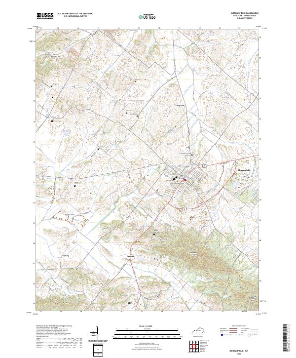
2022 Map of Morganfield
USGS Topo · Published 2022About this map
Morganfield serves as the primary hub of this landscape, anchoring a network of family-named cemeteries and agricultural drainage systems. The town center is densely structured around the Union County Courthouse Annex, with numerous burial grounds such as Saint Ann Cem, Masonic Cem, and Odd Fellows Cem Number 37 reflecting the area's deep-rooted community history. The surrounding terrain is defined by the transition from the low-lying Cypress Flats to the elevated Chalybeate Hills and Dyer Hills in the south.
Find a feature on this map
115 named features on this map. Tap any name to fly to it.
Don’t see what you’re looking for? This feature index may not catch every label — zoom into the map to look around manually.
Map Details
Editions of this 2022 Morganfield Map
This is the sole edition of this map. No revisions or reprints were ever made.
Other maps of this area

1905 · New Haven
USGS Topo · 1:62,500

1906 · New Haven
USGS Topo · 1:62,500

1907 · Morganfield
USGS Topo · 1:62,500

1916 · Shawneetown
USGS Topo · 1:62,500

1917 · Uniontown
USGS Topo · 1:62,500

1949 · Paducah
USGS Topo · 1:250,000

1949 · New Haven
USGS Topo · 1:62,500

1949 · Morganfield
USGS Topo · 1:24,000

1950 · Paducah
USGS Topo · 1:250,000

1951 · Waverly
USGS Topo · 1:24,000