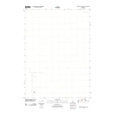
2010 Map of Morgans Pasture NE
USGS Topo · Published 2010About this map
Morgans Pasture defines this corner of Idaho as it appeared in the early 21st century. This specific geographic area, located within Bonneville County, is characterized by its sparse development and rectilinear road system. The intersection of E 1500 N and N 400 W provides a primary reference point for the landscape, which is largely defined by open land and precise survey alignments. This topographic study, produced by the U.S. Geological Survey, reflects the transition of the region into a modern era of digital mapping while maintaining the traditional grid-based settlement patterns of the Snake River Plain region.
Find a feature on this map
3 named features on this map. Tap any name to fly to it.
Don’t see what you’re looking for? This feature index may not catch every label — zoom into the map to look around manually.
Map Details
Editions of this 2010 Morgans Pasture NE Map
This is the sole edition of this map. No revisions or reprints were ever made.
Other maps of this area

1948 · Woodville
USGS Topo · 1:24,000

1949 · Roberts
USGS Topo · 1:62,500

1949 · Shattuck Butte
USGS Topo · 1:24,000

1950 · Shattuck Butte
USGS Topo · 1:24,000

1950 · Woodville
USGS Topo · 1:24,000

1955 · Baldy Knoll
USGS Topo · 1:24,000

1955 · Rose
USGS Topo · 1:24,000

1955 · Firth
USGS Topo · 1:24,000

1955 · Idaho Falls
USGS Topo · 1:250,000

1958 · Idaho Falls
USGS Topo · 1:250,000