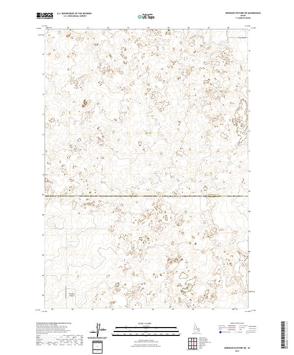
2023 Map of Morgans Pasture NE
USGS Topo · Published 2023About this map
Morgans Pasture sits within a landscape defined by geometric section lines and the transition between Bonneville and Bingham Counties. This 2023 survey by the U.S. Geological Survey illustrates a portion of the Idaho landscape where human infrastructure is sparse but deliberate, centered on the named tracks of Morgans Pasture Rd and W Broadway St. The terrain is characterized by subtle elevation changes and expansive open land across the survey's northern and southern townships, including t2n r35e and t1n r35e. The absence of dense urban development highlights the specific importance of named local landmarks like Morgans Pasture for researchers and local historians tracking land use and property boundaries in this high desert region of Idaho.
Find a feature on this map
8 named features on this map. Tap any name to fly to it.
Don’t see what you’re looking for? This feature index may not catch every label — zoom into the map to look around manually.
Map Details
Editions of this 2023 Morgans Pasture NE Map
This is the sole edition of this map. No revisions or reprints were ever made.
Other maps of this area

1948 · Woodville
USGS Topo · 1:24,000

1949 · Roberts
USGS Topo · 1:62,500

1949 · Shattuck Butte
USGS Topo · 1:24,000

1950 · Shattuck Butte
USGS Topo · 1:24,000

1950 · Woodville
USGS Topo · 1:24,000

1955 · Baldy Knoll
USGS Topo · 1:24,000

1955 · Rose
USGS Topo · 1:24,000

1955 · Firth
USGS Topo · 1:24,000

1955 · Idaho Falls
USGS Topo · 1:250,000

1958 · Idaho Falls
USGS Topo · 1:250,000