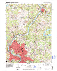
1994 Map of Morgantown North
USGS Topo · Published 2000About this map
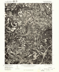
Morgantown and the surrounding river valleys are the focal point of this mid-1990s landscape, where the Monongahela River and Cheat River converge near the Pennsylvania border. The map documents the extensive footprint of West Virginia University, spanning from the main campus to agricultural research facilities like the WVU Animal Husbandry Farm and the WVU Horticulture Farm. Industrial activity is evident through numerous Strip Mines and specialized infrastructure such as the Conveyor Belt systems crossing the hills.
Find a feature on this map
99 named features on this map. Tap any name to fly to it.
Don’t see what you’re looking for? This feature index may not catch every label — zoom into the map to look around manually.
Map Details
Editions of this 1994 Morgantown North Map
This is the sole edition of this map. No revisions or reprints were ever made.
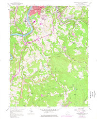
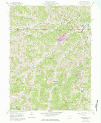
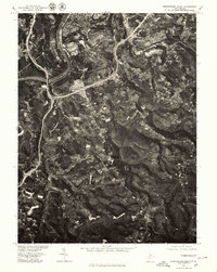
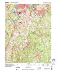
Historical Maps of Woodburn Through Time
10 maps found
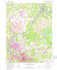
1957 Morgantown North
Monongalia County, WV
1957 Morgantown South
Monongalia County, WV
1958 Wadestown
Monongalia County, WV
1976 Morgantown North
Monongalia County, WV
1976 Morgantown South
Monongalia County, WV
1994 Morgantown North
Monongalia County, WV
1997 Morgantown South
Monongalia County, WV
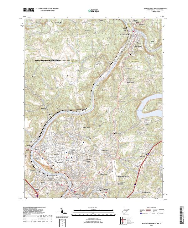
2023 Morgantown North
Monongalia County, WV
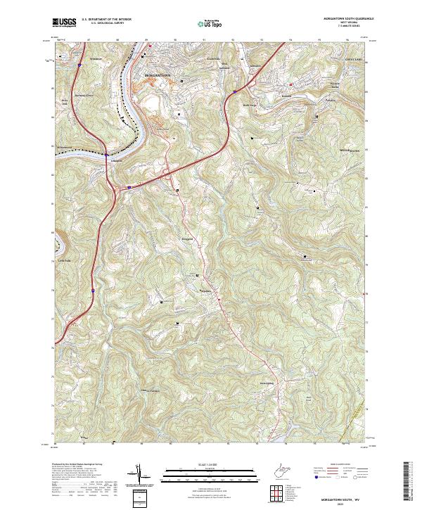
2023 Morgantown South
Monongalia County, WV
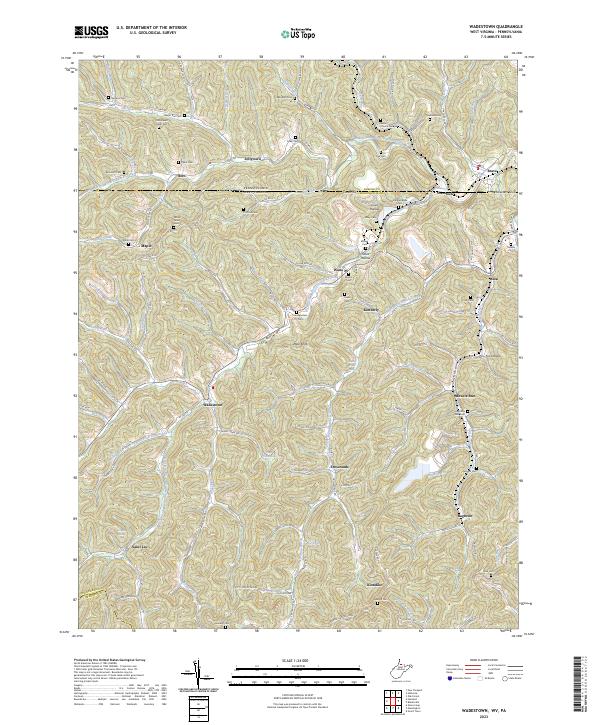
2023 Wadestown
Monongalia County, WV