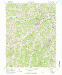
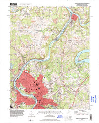
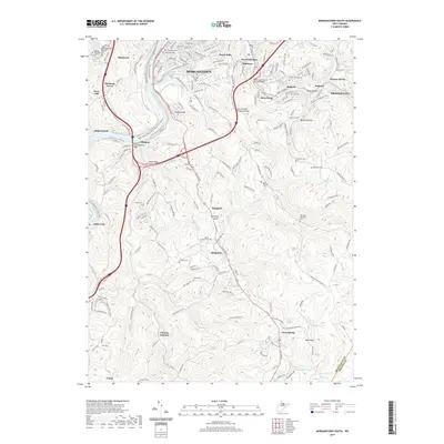
1958 Map of Wadestown
USGS Topo · Published 1984About this map
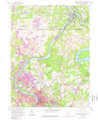
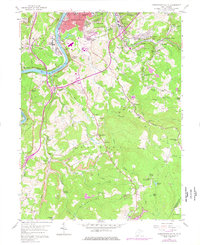
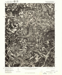
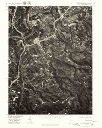
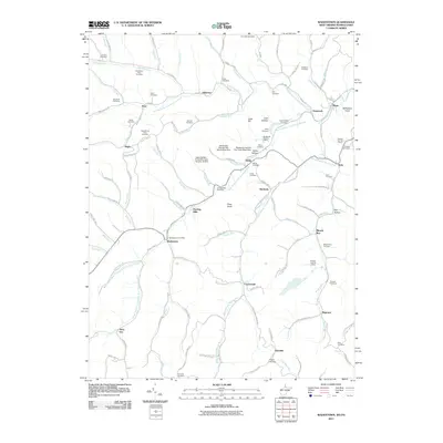
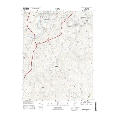
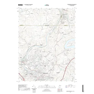
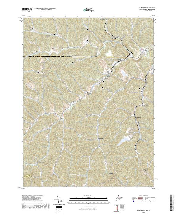
Wadestown and the winding reaches of Dunkard Creek anchor this mid-century survey of the rugged borderlands where Monongalia County meets the Pennsylvania line. The landscape is defined by the steep-walled valleys of the South Fork and North Fork, which converge near small rural centers that supported a resilient coal and gas-production economy. Notable for genealogists, the map preserves the locations of numerous family-named landmarks and burial grounds, including the New Mt Tabor Cemetery and Old Mt Tabor Cem near Maple.
Find a feature on this map
82 named features on this map. Tap any name to fly to it.
Don’t see what you’re looking for? This feature index may not catch every label — zoom into the map to look around manually.
Map Details
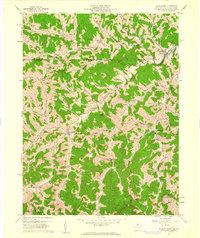
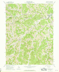
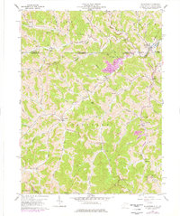
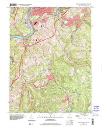
Editions of this 1958 Wadestown Map
4 editions found
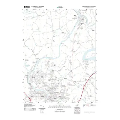
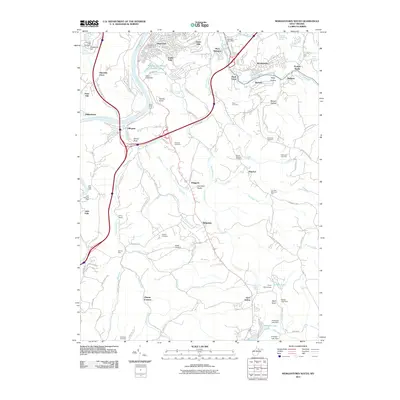
Historical Maps of Bula Through Time
22 maps found
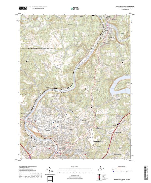
1957 Morgantown North
Monongalia County, WV
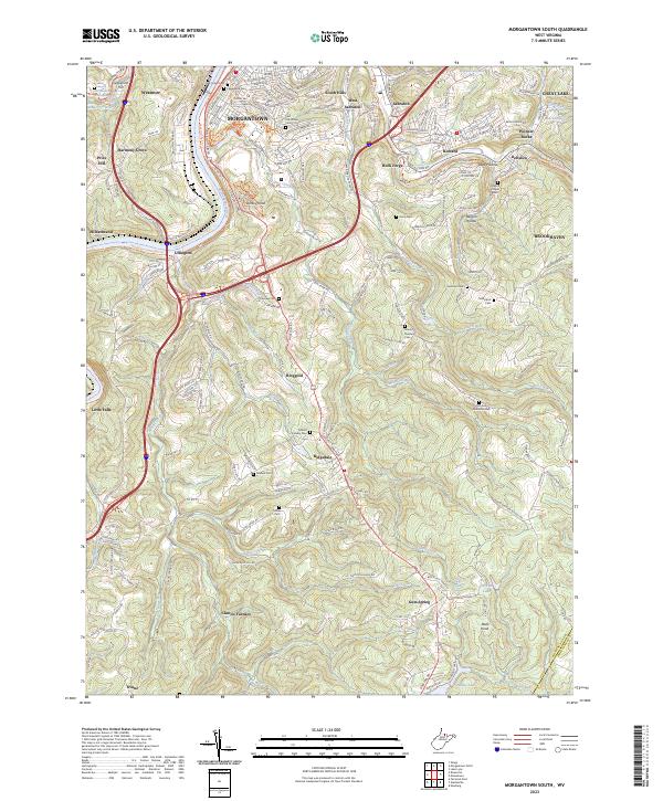
1957 Morgantown South
Monongalia County, WV
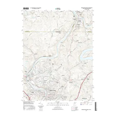
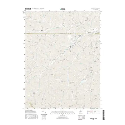
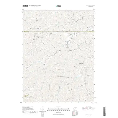
1958 Wadestown
Monongalia County, WV
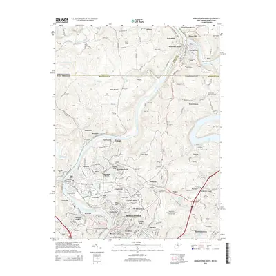
1976 Morgantown North
Monongalia County, WV
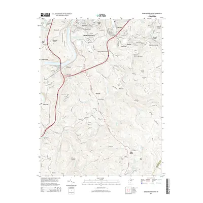
1976 Morgantown South
Monongalia County, WV
1994 Morgantown North
Monongalia County, WV
1997 Morgantown South
Monongalia County, WV
2011 Morgantown North
Monongalia County, WV
2011 Morgantown South
Monongalia County, WV
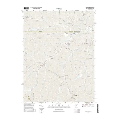
2011 Wadestown
Monongalia County, WV
2014 Morgantown North
Monongalia County, WV
2014 Morgantown South
Monongalia County, WV
2014 Wadestown
Monongalia County, WV
2016 Morgantown North
Monongalia County, WV
2016 Morgantown South
Monongalia County, WV
2016 Wadestown
Monongalia County, WV
2019 Morgantown North
Monongalia County, WV
2019 Morgantown South
Monongalia County, WV
2019 Wadestown
Monongalia County, WV
2023 Morgantown North
Monongalia County, WV
2023 Morgantown South
Monongalia County, WV
2023 Wadestown
Monongalia County, WV