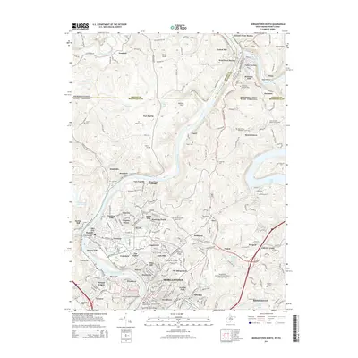
2014 Map of Morgantown North
USGS Topo · Published 2014About this map
Morgantown anchors the southern portion of this region, serving as the cultural and educational hub with the presence of W Virginia Univ and W Virginia Jr Coll. The landscape is defined by the northward flow of the Monongahela River, which meets the Cheat River near the historic community of Point Marion just across the Pennsylvania border. This confluence area highlights the industrial and transport corridors that have long shaped the border between West Virginia and Pennsylvania.
Find a feature on this map
231 named features on this map. Tap any name to fly to it.
Don’t see what you’re looking for? This feature index may not catch every label — zoom into the map to look around manually.
Map Details
Editions of this 2014 Morgantown North Map
This is the sole edition of this map. No revisions or reprints were ever made.
Other maps of this area

1900 · Masontown
USGS Topo · 1:62,500

1901 · Waynesburg
USGS Topo · 1:62,500

1902 · Morgantown
USGS Topo · 1:62,500

1903 · Masontown
USGS Topo · 1:62,500

1904 · Blacksville
USGS Topo · 1:62,500

1904 · Waynesburg
USGS Topo · 1:62,500

1923 · Blacksville
USGS Topo · 1:62,500

1925 · Blacksville
USGS Topo · 1:62,500

1925 · Morgantown
USGS Topo · 1:62,500

1931 · Masontown
USGS Topo · 1:62,500