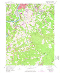
1957 Map of Morgantown South
USGS Topo · Published 1977About this map
Industrial and rural landscapes converge south of Morgantown, where the Monongahela River and the Baltimore and Ohio railroad carve through the valley. This 1957 record, updated in the 1970s, captures the intense resource extraction that shaped the area, clearly marking numerous Strip Mines and Coke Ovens near Dellslow. The southern portion of the sheet reveals a more isolated, ridge-focused geography centered on Clinton Furnace and Triune, where small country churches like Johnson Chapel and Mellons Chapel served dispersed communities.
Find a feature on this map
84 named features on this map. Tap any name to fly to it.
Don’t see what you’re looking for? This feature index may not catch every label — zoom into the map to look around manually.
Map Details
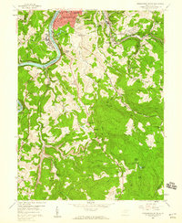
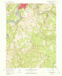
Editions of this 1957 Morgantown South Map
Other maps of this area

1886 · St. George
USGS Topo · 1:125,000

1891 · St. George
USGS Topo · 1:125,000

1902 · Fairmont
USGS Topo · 1:62,500

1902 · Morgantown
USGS Topo · 1:62,500

1904 · Blacksville
USGS Topo · 1:62,500

1907 · Thornton
USGS Topo · 1:62,500

1923 · Blacksville
USGS Topo · 1:62,500

1923 · Fairmont
USGS Topo · 1:62,500

1925 · Blacksville
USGS Topo · 1:62,500

1925 · Morgantown
USGS Topo · 1:62,500