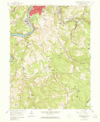
1957 Map of Morgantown South
USGS Topo · Published 1970About this map
Morgantown's southern expansion and industrial roots are visible in this mid-century survey, which details the city's residential districts like South Hills and Beverly Hills alongside the Monongahela River. The landscape is a complex mix of education, recreation, and industry, featuring landmarks like the 4H Club Camp and Camp Mountaineer nestled near deep-cut watercourses such as Booths Creek and Deckers Creek. The map documents a rugged topography where established neighborhoods give way to extractive land use, most notably the extensive Strip Mine operations found in the southern reaches of the quadrangle.
Find a feature on this map
78 named features on this map. Tap any name to fly to it.
Don’t see what you’re looking for? This feature index may not catch every label — zoom into the map to look around manually.
Map Details
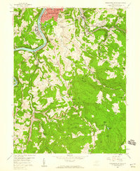
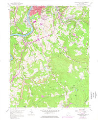
Editions of this 1957 Morgantown South Map
Other maps of this area

1886 · St. George
USGS Topo · 1:125,000

1891 · St. George
USGS Topo · 1:125,000

1902 · Fairmont
USGS Topo · 1:62,500

1902 · Morgantown
USGS Topo · 1:62,500

1904 · Blacksville
USGS Topo · 1:62,500

1907 · Thornton
USGS Topo · 1:62,500

1923 · Blacksville
USGS Topo · 1:62,500

1923 · Fairmont
USGS Topo · 1:62,500

1925 · Blacksville
USGS Topo · 1:62,500

1925 · Morgantown
USGS Topo · 1:62,500