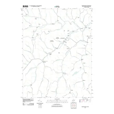
2011 Map of Wadestown
USGS Topo · Published 2011About this map
Wadestown Post Office serves as a central landmark in this 2011 survey, situated within a landscape defined by the winding forks of Dunkard Creek. The map records a complex network of rural communities, including Jollytown, Wana, and Bula, many of which are linked by their reliance on the region's prominent coal industry. Industrial sites such as the Blacksville Number 2 Mine, Federal Number 1 Mine, and Federal Number 2 Mine are clearly marked, illustrating the deep integration of extraction activities within the local terrain.
Find a feature on this map
122 named features on this map. Tap any name to fly to it.
Don’t see what you’re looking for? This feature index may not catch every label — zoom into the map to look around manually.
Map Details
Editions of this 2011 Wadestown Map
This is the sole edition of this map. No revisions or reprints were ever made.
Other maps of this area

1901 · Waynesburg
USGS Topo · 1:62,500

1904 · Blacksville
USGS Topo · 1:62,500

1904 · Waynesburg
USGS Topo · 1:62,500

1905 · Mannington
USGS Topo · 1:62,500

1905 · Rogersville
USGS Topo · 1:62,500

1923 · Blacksville
USGS Topo · 1:62,500

1923 · Mannington
USGS Topo · 1:62,500

1925 · Blacksville
USGS Topo · 1:62,500

1926 · Mannington
USGS Topo · 1:62,500

1949 · Clarksburg
USGS Topo · 1:250,000