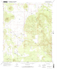
1966 Map of Moritz Ridge
USGS Topo · Published 1968About this map
Kaibab National Forest and Coconino National Forest meet in this 1960s survey of high-elevation plateau and canyon land. The landscape is defined by its water management, evidenced by dozens of named catchment tanks like Potato Tank, Lost Spring Tank, and Serape Tank, which supported the livestock operations vital to this region's economy. The small settlement of Pumpkin Center serves as a lone hub of activity amidst the cinder cones and mesas.
Find a feature on this map
52 named features on this map. Tap any name to fly to it.
Don’t see what you’re looking for? This feature index may not catch every label — zoom into the map to look around manually.
Map Details
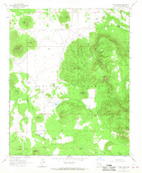
Editions of this 1966 Moritz Ridge Map
2 editions found
Other maps of this area

1886 · San Francisco Mtns
USGS Topo · 1:250,000

1886 · Chino
USGS Topo · 1:250,000

1891 · San Francisco Mtns
USGS Topo · 1:250,000

1891 · Chino
USGS Topo · 1:250,000

1894 · San Francisco Mtns
USGS Topo · 1:250,000

1899 · San Francisco Mtns
USGS Topo · 1:250,000

1908 · Flagstaff
USGS Topo · 1:125,000

1912 · Flagstaff
USGS Topo · 1:125,000

1922 · Williams
USGS Topo · 1:125,000

1947 · Flagstaff
USGS Topo · 1:250,000